Itinerary
The Itinerary for the Owir An is noticeable below
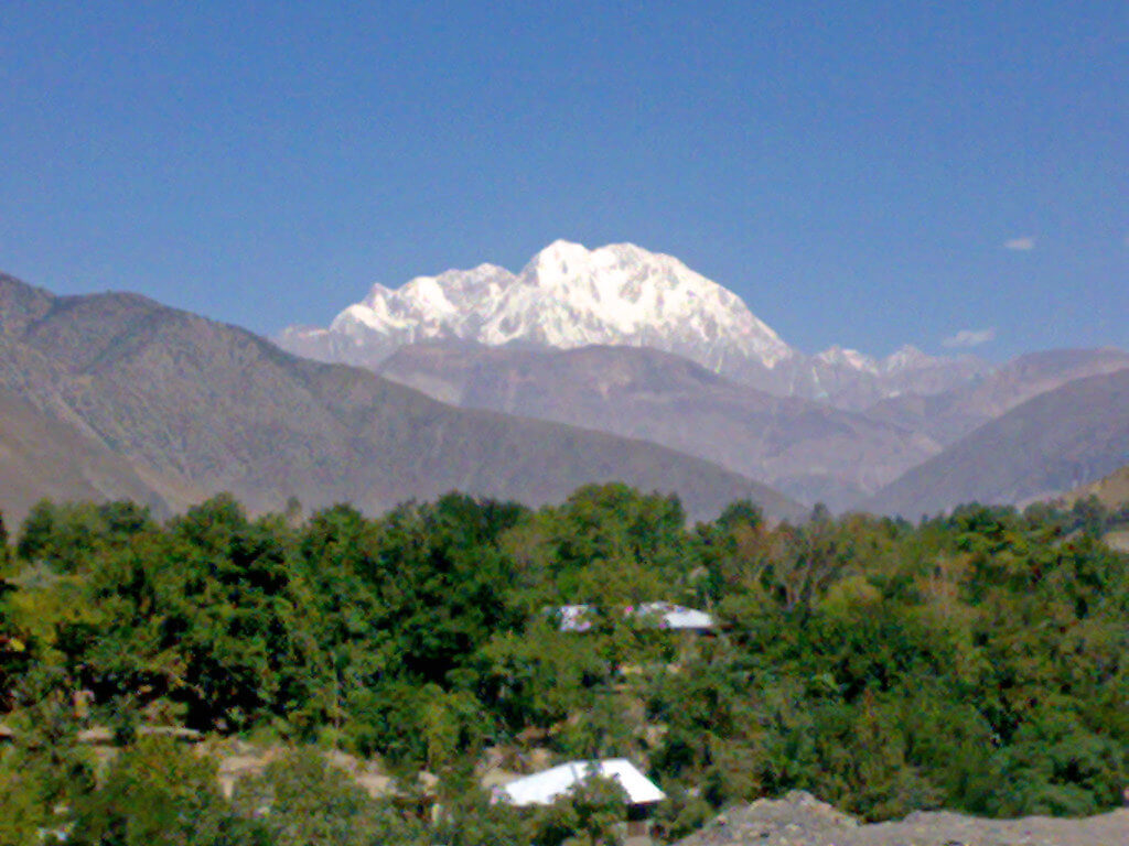
Sussoom (2896m) and Kiyar villages are separated by Ojhor Gol. Lasht runs along its true right bank. Shahguch, a vast well-watered grassy meadow located between the two villages just upstream from the bridge, is located between the two settlements. Camp in Shahguch (3000m) before continuing on. Follow the route for 15 minutes from Shahguch to Kiyar. Head left from Kiyar's polo field and up through the fields. Keep the evident dry rocky spur to your left with a little cairn on it and head for the tallest trees and fields. Three vertical rock outcrops and a waterfall valley are on your right, but further distant. One hour from Kiyar, reach the highest fields and residences and continue on the trail to the saddle, crossing the dry rocky spur on the left. This vantage point provides an excellent view of Tirich Mir and the upper Ojhor Gol. Contour gradually up the east side of the Ojhor Gol for 45 minutes to an hour, crossing numerous tiny clear streams, to Kiyar High camp (3500m), a sheltered flat grassy spot with room for many tents.
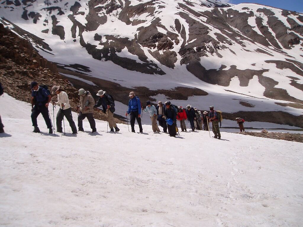
In 15 minutes, the trail reaches a hill and swings east to ascend the valley's south side towards the pass. Around 30 minutes, contour to the snow pack at the confluence of two minor streams. The climb to Owir An begins on the north (left) side of the steep bluffs above. In 30 minutes, ascend from the snowfield to the gully with a tiny stream to the left of the rocky outcrop. The pass itself is a difficult one- to eleven-hour hike from here. Just to the left of Owir An (4337m) is a little black outcrop. A snowfield exists on both sides of the pass during heavy snow years or early in the season. The Buni Zom massif dominates the view from the pass, with the Shandur range stretching to the horizon in the distance. Shungush's fields can be seen below.
Descend the tiny stream, crossing another small side stream on your left. The trail descends a ridge, well above the real left bank of the main stream. Reach a flat area with some grass and a few campsites one hour from the pass, where two streams combine. The alternative track to the Barum Glacier begins here (see Alternate Finish)
If ascending to the pass from Owir High Camp in the reserve direction, take the ridge trail up sharply. The pass isn't visible until you reach the ridge top, above the stream's actual left bank. As the route and the stream approach each other, a tiny hill ahead with a notable squared-off rock outcrop to its south (left) becomes evident. This hill is just to the north of the Owir An.
To continue towards Mujhen, take the Trail that crosses to the true right bank of the mainstream and continues 45 minutes via rolling hills and grassland to another stream and a huge grassy area. The large Owir High Camp (4178m) is located at the base of a rock outcrop near a tiny pool.
Cross the stream to the east and follow an abandoned canal. The trail bends around numerous ridges, and as you leave camp, you can see Owir An's square-topped outcrop and a little hill. The vista up to Tirich Mir is breathtaking. One hour from the High camp, contour to a ridge overlooking farms and residences, then drop to the upper settlement. One hour through the village on the wide trail to Mujhen (2927m).
Alternative Finish: Kiyar High Camp to Shahbronz
This path gets you to Shukushal and allows you to continue on to Tirich Mir Base Camp.
Follow a route following the main stream's true left bank 30 minutes ahead to the grassy region called Gologari (4200m) from the level grassy area with a few tent sites one hour below (east of) the pass.
Continue on until Shahbronz (3000m), where you will switch porters.
Shukushal (3800m), the local name for Tirich Mir Base Camp, is located six hours up the Barum Gol, towards the terminus of the North Barum Glacier.
Another base camp (4700m) used by the 1950 Norwegian expedition, the first to summit Tirich Mir, is two days beyond Shukushal, up the Barum Glacier.
Return to the roadhead at Shahbronz by descending the valley.
Holiday Overview
Owir An, at 4337 meters, is the highest point on this short yet spectacular trek. The ability to see the awe-inspiring southern flanks of the Tirich Mir massif up close is what distinguishes this approach. The walk can be done in either direction, from Ojhor in Tirich Mir's southwest to Owir in the southeast, or vice versa.
The tour promises close contact with the region's spectacular scenery, with each step exposing the natural magnificence of the Karakoram. From verdant valleys to rugged peaks, Owir An offers a glimpse into this region's untamed wildness.
Trekkers can connect with the warm and inviting communities that call this region home as they navigate this spectacular environment. It's a journey that provides not just intimacy with nature but also immersion in the region's rich cultural tapestry.
Owir An reminds us that adventure and beauty do not have to be distant dreams, but may be experienced in the here and now. It's an invitation to explore, interact, and be captured by the Karakoram's beauties, leaving trekkers with unforgettable memories of a journey well worth taking.