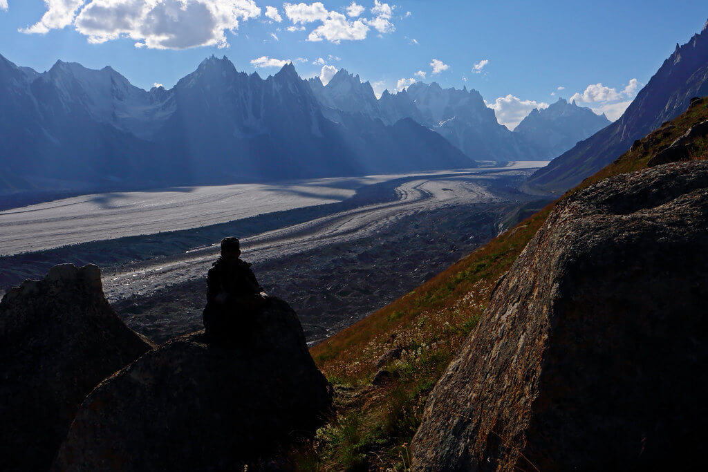
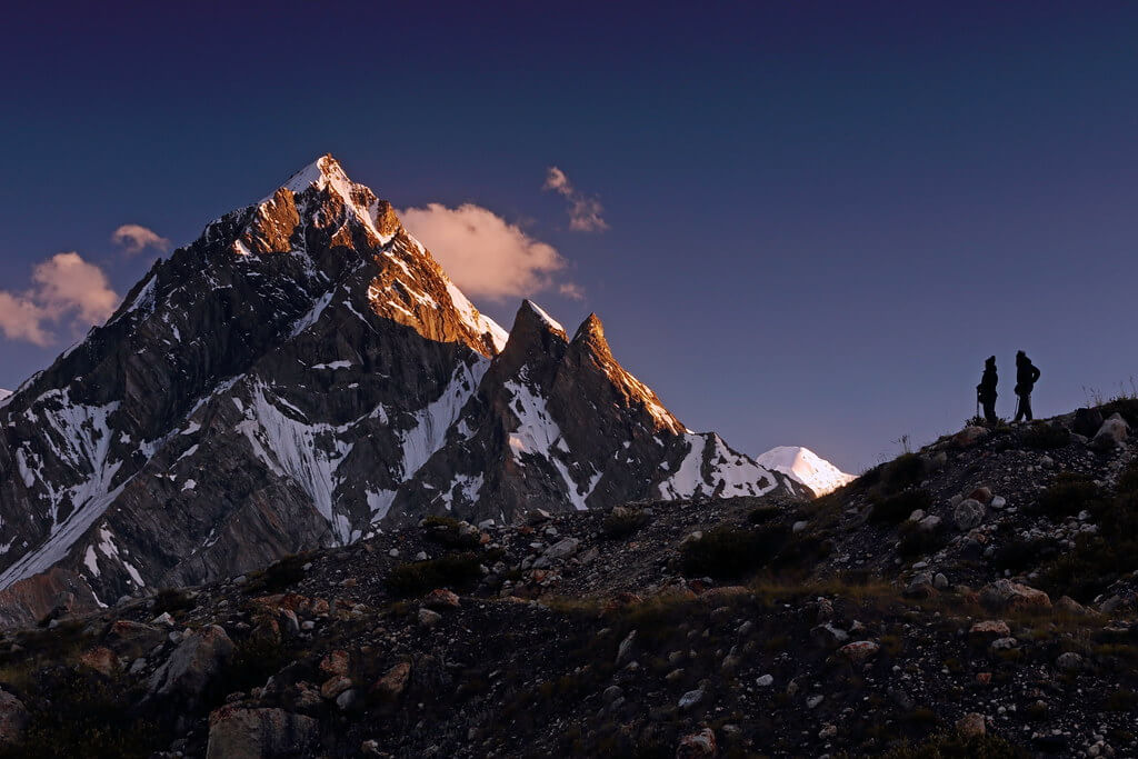
The Baintha Brakk Expedition provides daring climbers with an amazing challenge in the middle of Pakistan's Karakoram Mountains. This mountain, often known as "The Ogre," towers 7,285 meters (23,901 feet) over the Biafo Glacier. "The Ogre" is notorious for being one of the most difficult mountains to scale, with its incredibly rocky structure and steepness, making the expedition an ultimate test of ability, tenacity, and expertise.
The route to Baintha Brakk, located in the Panmah Muztagh subrange, leads adventurers through mesmerizing landscapes of towering peaks and huge glaciers, including the famous Biafo Glacier. The hike begins in Askole and proceeds through the Skardu area to the base of this magnificent peak.
Itinerary
The Itinerary for Baintha Brakk Expedition is noticeable below
Today's GPS Data Altitude: 540 m
Our guide(s) will pick you up at the airport. The Baintha Brakk expedition participants will be moved to motels shortly. Our participants can unwind and recover from their lengthy journey on this day.
Pickup instructions
Our guide will be holding orange placards with our company's logo and your name on them. You must fly into Islamabad International Airport. International flights typically arrive in the afternoon or at midnight. You must notify us of your inbound and outgoing flights at least five days before your arrival in Pakistan. Unless you are flying a connecting flight from another location in Pakistan, our staff/guide will meet you at the international arrivals gates. The guide/staff will transport you to our affiliated hotel. Please notify us in advance if you do not require airport transportation.
After lunch and some relaxation at the hotel (preferably if you arrive between 9 am and 12 pm), our guide/representative will pick up all of our guests around 6 pm for a briefing and final payments at our office, followed by supper. If you arrive late, we will handle any outstanding fees and briefings in Skardu.
Today's GPS Data Altitude: 540 m
The participants of the Baintha Brakk Expedition will have a free day in Islamabad on this day for briefing and logistical purposes.
Today's GPS Data Altitude: 2,250 m
Participants will take a beautiful trip from Islamabad Airport to Skardu Airport this morning. If the clouds cooperate, you will be able to view Nanga Parbat. The day is free after arriving at Skardu. In the event of a flight cancellation, spend the night in Chilas.
Today's GPS Data Altitude: 2,250 m
After breakfast, the participants will go to Skardu's Kharpocho Fort, which is positioned on a mountain. The Kharpocho Fort offers a spectacular view of the Indus River and Skardu town. Participants will also have the option of taking a tour of Sadpara Lake, followed by free time in Skardu Bazaar.
During the sightseeing, our personnel will take care of any further government paperwork that is required in Skardu. This can take up to two days. We have contingency days scheduled near the end of the trip in case of delays.
Today's GPS Data Altitude: 3,015 m
The Baintha Brakk expedition participants will continue their vehicle safari towards Daso, passing via the Shigar valley. The journey will take place along the banks of the Braldu River, which runs all the way to Askole. Askole will be the last settlement on our itinerary, and the expedition members will begin walking after leaving the jeeps behind. However, depending on the road conditions, participants may begin their walk before arriving in Askole. The distance will take you between six and eight hours to complete.
Today's GPS Data Altitude: 3,300 m
Following the completion of the necessary supply list and equipment, the porters will load up for the journey to Jhola. The valley serves as a portal to the Biafo glacier, which flows over fifty kilometers from Hispar La to Braldu. The participants will experience moraine walking as they traverse the glacier's snout and descend to a picnic site near the Korofon River.
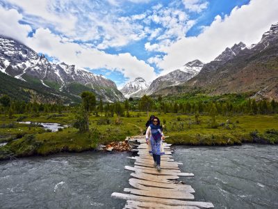
The route will take us to the confluence of the Braldu and Domordo rivers. The trail will take us upstream, where the Baintha Brakk expedition participants will cross the river via bridge. On the other side of the bridge, participants will ascend towards the Domordo River until we reach Namla Camp, then drop to the Braldu River's shore, where Jhola Camp is located.
Today's GPS Data Altitude: 3,500 m
The Baintha Brakk expedition will begin its walk toward the mango campground. They will walk in the opposite direction of the flow of the Dumurdo River. The participants will stop for lunch and camp at Mango.
Today's GPS Data Altitude:3,800 m
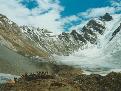
The participants of the bainth brakk excursion will arrive at the base camp on this day and will build up an appropriate base camp with the permission of our guide. When the participants arrive at the camp, dinner will be served and they will spend the night in tents. The Latok Peaks base camp and Biantha Brakk base camp are not far apart.
Today's GPS Data Altitude: 3,800 m
On this day, the participants will acclimatize while organizing their gear. Silkroad Guides will set up the base camp, and the porters will walk back as well.
The climb will take 16 days for the participants.
On this day, the team, along with the Silkroad Guide personnel, will depart from Baintha Brakk's base camp and hike back down. They will return to Namla through the Dumurdo River. The journey will last 8-9 hours because the participants will return to Askoli Valley Valley the following day.
Today's GPS Data Altitude: 3,000 m
The Baintha Brakk expedition participants will return to Askole village on this day after going up the river to the bridge. Participants will also get the opportunity to meet climbers and trekkers at the Askoli campground.
Today's GPS Data Altitude: 2,250 m
The participants will be driven back to the accommodation in Skardu by the Silkroad Guides team. Making a tea break in Dasso and a lunch break in Shigar Baazar.
Today's GPS Data Altitude: 538 m
On this day, the participants will fly from Skardu Airport to Islamabad Airport. You will have a pleasant time relaxing at the Islamabad Hotel.
Domestic flights are occasionally canceled due to weather conditions. In the event of a flight cancellation, you will spend the night in Raikot or Chilas. A car takes 10 hours.
Today's GPS Data Altitude: 538 m
This day is set aside for any potential delays if the domestic flight does not operate the day before. Our guests will travel from Chilas to Islamabad in the early morning, which could take up to 10 hours. However, if the players make it to Islamabad on the domestic flight, it would be a free day. This time could be spent sightseeing in Islamabad.
Meals for this day included: Breakfast
Our crew will transport all members of the Baintha Brakk Expedition to the airport at their scheduled departure times. All of our partner hotels have a 12 p.m. check-out time.
Holiday Overview
Since its first climb in 1977, Baintha Brakk has been a sought-after destination for mountaineers seeking the excitement of conquering difficult heights. Due to the challenging and punishing terrain, this excursion is only recommended for extremely experienced climbers with the technical competence and physical stamina to face "The Ogre." Climbers are rewarded with stunning vistas of the neighboring Karakoram peaks as they rise, including Latok I, II, and III, which share the same stony construction and steep character as Baintha Brakk.
The Baintha Brakk Expedition is a voyage that pushes adventurers beyond their limits while rewarding them with a sense of success and appreciation for the great mountains. It's a chance to immerse yourself in the raw splendor of the Karakoram, an experience that will leave you with enduring memories and a strong connection to nature's majesty.
For those brave enough to take on "The Ogre," the Baintha Brakk Expedition promises an unforgettable adventure and the opportunity to leave their mark on one of the world's most difficult peaks, forever engraving their names in mountaineering history.