Itinerary
The Itinerary for Spantik Expedition is noticeable below
Today's GPS Data Altitude: 540 m
Our guide(s) will pick you up at the airport. You will be transferred to hotels shortly. Our participants can unwind and recover from their lengthy journey on this day.
Pickup instructions
Our guide will be holding orange placards with our company's logo and your name on them. You must fly into Islamabad International Airport. International flights typically arrive in the afternoon or at midnight. You must notify us of your inbound and outgoing flights at least five days before your arrival in Pakistan. Unless you are flying a connecting flight from another location in Pakistan, our staff/guide will meet you at the international arrivals gates. The guide/staff will transport you to our affiliated hotel. Please notify us in advance if you do not require airport transportation.
After lunch and some relaxation at the hotel (preferably if you arrive between 9 am and 12 pm), our guide/representative will pick up all of our guests around 6 pm for a briefing and final payments at our office, followed by supper. If you arrive late, we will handle any outstanding fees and briefings in Skardu.
Today's GPS Data Altitude: 540 m
The Spantik Expedition participants will have a free day in Islamabad on this day for briefing and logistical purposes.
Today's GPS Data Altitude: 2,498 m
Participants will take a beautiful trip from Islamabad Airport to Skardu Airport this morning. If the clouds cooperate, you will be able to view Nanga Parbat. The day is free after arriving at Skardu. In the event of a flight cancellation, spend the night in Chilas.
Today's GPS Data Altitude: 2,498 m
After breakfast, the participants will go to Skardu's Kharpocho Fort, which is positioned on a mountain. The Kharpocho Fort offers a spectacular view of the Indus River and Skardu town. Participants will also have the option of taking a tour of Sadpara Lake, followed by free time in Skardu Bazaar.
During the sightseeing, our personnel will take care of any further government paperwork that is required in Skardu. This can take up to two days. We have contingency days planned at the end of the trip in case of delays.
Today's GPS Data Altitude: 2,720 m
The participants will begin their jeep safari in the direction of Hyderabad, passing through the Shigar valley. The route will be followed along the banks of the Braldu River before turning left into the Basha River canyon. Arandu will be the final settlement on our itinerary; after exiting the jeeps, participants will begin walking. However, depending on the road conditions, participants may begin their walk before arriving in Arandu. The distance will take you between four and six hours to complete.
Today's GPS Data Altitude: 3,400 m
The participants will embark on a jeep safari to Chogo Brangsa camp, passing past the snout of the Chogolungma glacier. The trip will also feature an incline, with participants climbing to an elevation of roughly 700 m on the first day. It will take between five and six hours to travel the distance.
Today's GPS Data Altitude: 3,820 m
The trekkers will begin their journey early because they will have a long hiking day on this day. They will go along the northern edge of the Chogolungma Glacier towards the Bolocho Glacier. The participants will ascend 400 m on this day, but the path is extensive, so it will take six to seven hours to reach the Bolocho campsite.
Today's GPS Data Altitude: 4,360 m
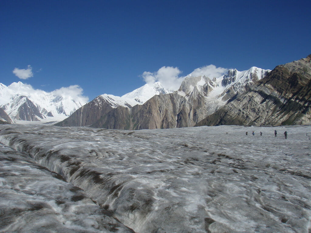
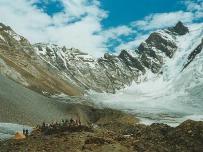
The trekkers will begin early because they will have a lengthy trekking day on this day as well. They will travel on the Chogolungma glacier, leaving the valley behind and heading towards the Bolocho glacier. On this day, the participants will ascend an elevation of 550 m and trek on glacier ice, as well as climb a 200 m for camping; it will take six to seven hours to reach Spantik BC.
Today's GPS Data Altitude: 4,360 m
On this day, the participants will acclimatize while organizing their gear. Silkroad Guides will set up the base camp, and the porters will walk back as well.
The climb will take 16 days for the participants.
The team, along with Silkroad Guides staff, will depart base camp and trek back down. They will return through the Chogolungma glacier. The walk will last 8-9 hours because the participants will return to Aarandu Valley the following day.
Today's GPS Data Altitude: 2,720 m
This will be the final trekking day of our excursion, as the participants will return to Arandu village and camp there. The trek will last 6-7 hours, depending on the pace of the participants.
Today's GPS Data Altitude: 2,250 m
The Silkroad Guides staff will drive the participants back to the accommodation in Skardu.
Today's GPS Data Altitude: 538 m
The participants will fly from Skardu Airport to Islamabad Airport on this day. You will have a pleasant time relaxing at the Islamabad Hotel.
Domestic flights are occasionally canceled due to weather conditions. In the event of a flight cancellation, you will spend the night in Raikot or Chilas. A car takes 10 hours.
Today's GPS Data Altitude: 538 m
This day is set aside for any potential delays if the domestic flight does not operate the day before. Our guests will travel from Chilas to Islamabad in the early morning, which could take up to 10 hours. However, if the players make it to Islamabad on the domestic flight, it would be a free day. This time could be spent sightseeing in Islamabad.
Breakfast is included.
Our personnel will transport all of our customers to the airport at their scheduled departure times. All of our partner hotels have a 12 pm check-out time.
Holiday Overview
The Spantik Expedition offers an exceptional opportunity for mountaineers to conquer the spectacular Spantik Peak, a relatively simpler 7000-meter peak located in Pakistan's Karakoram ranges. This excursion, nestled in the gorgeous Arandu Valley, promises a riveting blend of breathtaking views, technical obstacles, and a fantastic sense of accomplishment.
Beginning in Islamabad, participants will be greeted warmly and transferred to a hotel to begin their experience. Following that, a flight to Skardu, Baltistan's administrative center, will take them to the heart of the Karakoram valleys. Participants will have time in Skardu to prepare for group activities, complete essential paperwork, and immerse themselves in the colorful local culture.
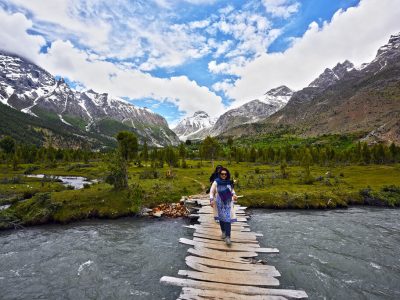
Following the completion of the preparations, the expedition will depart for the Arandu Valley, where the base camp awaits. As the participants make their way to the edge of Arandu Valley, they will pass through stunning scenery such as the gorgeous Shigar Valley. They will see breathtaking views, difficult terrain, and glimpses of the region's distinctive flora and fauna along the journey.
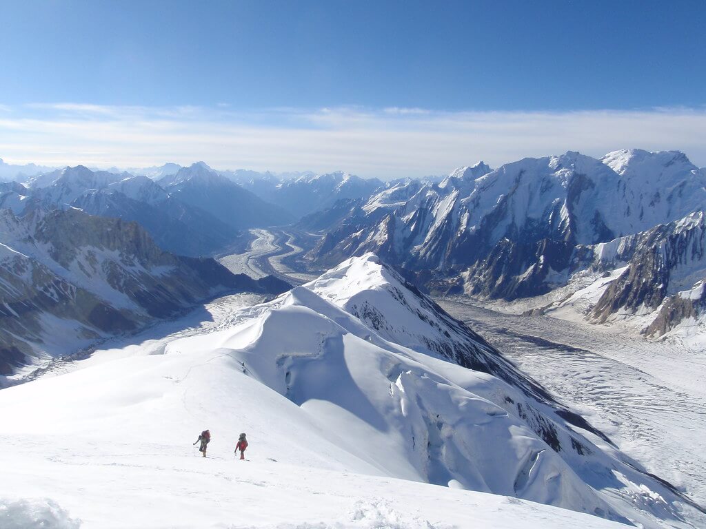
When the expedition party arrives at the Spantik Base Camp at 4,360 meters, a day of rest will be scheduled for acclimatization and equipment sorting. The Spantik Expedition ascent traverses the 9-kilometer South East Ridge, reaching roughly 3000 meters in elevation. The slopes on the course range from 10° to 30°, with a few portions reaching 40°. The elevations of Camps I, II, and III are 5100, 5500, and 6250 meters, respectively.
Participants will gradually proceed through the camps over the course of 16 days, experiencing technical challenges and relying on their climbing talents. As they negotiate diverse terrain and weather conditions, the ascent will necessitate cautious navigation and coordination. Throughout the ascent, experienced guides and Sherpas will follow the team, offering support and assuring safety.
The top of Spantik Peak will be a triumphant moment for participants, providing them with stunning panoramic views of the surrounding Karakoram peaks, glaciers, and valleys. The sensation of accomplishment and the beauty of the natural surroundings create an everlasting memory that participants will carry with them for the rest of their lives.
After descending from the mountain and returning to base camp, the group will return to Skardu for a well-deserved celebration. If time allows, participants can revel in their achievements and visit the colorful twin cities of Islamabad and Rawalpindi. Finally, participants are dropped off at Islamabad International Airport in preparation for their return flights.